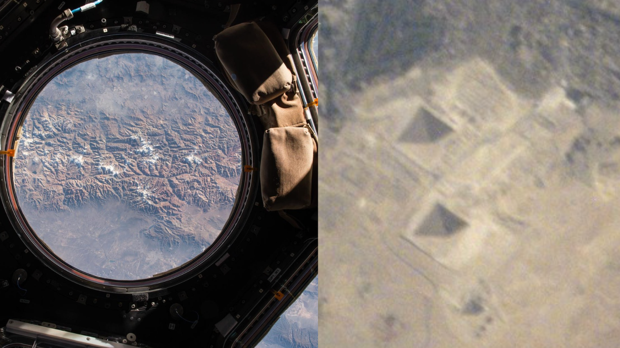
Did you hear about the NASA satellite that launched from California in the middle of the night last night, and would float in space monitoring carbon levels? Pretty cool stuff, except for the fact that minutes after it was launched, it crashed into the ocean near Antarctica. It's a huge loss, both financially and to science (it cost $287 million to produce), but let's take a look at what this satellite was, and how it could have been of use.The almost-1,000-pound satellite, when it actually makes it into space, will be a boon to climate change scientists. (It might also confirm, for those who for whatever reason still don't buy the whole global warming thing, that indeed we have record levels of carbon dioxide out there, and that said emissions are contributing to rising temperatures.) Called the Orbiting Carbon Observatory, the satellite was the first of its kind monitoring global carbon dioxide levels. Measurements collected by the satellite were "expected to improve climate models and help researchers determine where the greenhouse gas originates and how much is being absorbed by forests and oceans."In other NASA news (they've had a busy 24 hours!), they yesterday launched a new interactive Google Earth Map to show the amount of carbon dioxide being tossed into the U.S. atmosphere every hour. The effort, a partnership with Purdue University, can be found here. (Plug-in required. Also, it's really slow, but worth it.)(Image NASA/Purdue)
Search
Latest Stories
Start your day right!
Get latest updates and insights delivered to your inbox.
We have a small favor to ask of you
Facebook is critical to our success and we could use your help. It will only take a few clicks on your device. But it would mean the world to us.
Here’s the link . Once there, hit the Follow button. Hit the Follow button again and choose Favorites. That’s it!
The Latest
Most Popular
Sign Up for
The Daily GOOD!
Get our free newsletter delivered to your inbox


 Otis knew before they did.