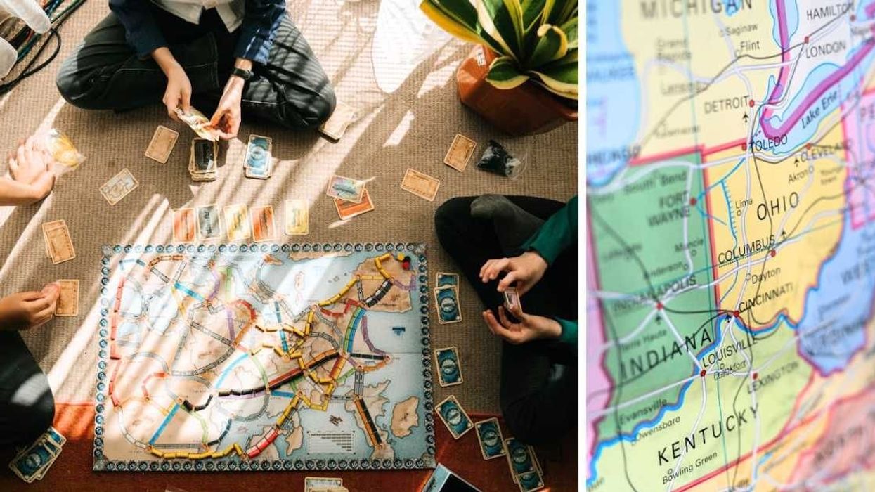
The pieces of a board game are like Earth's tectonic plates—just as tectonic plates move and shift on the mantle, players rearrange the game pieces. Today, with the American board game market valued at a staggering $12.4 billion, countless games are available. But the first board game ever printed in America stands out for its unique portrayal of the country's geological history. Published in 1822, it was called “Travellers’ Tour Through the United States," writes The Conversation.

By 1822, the board game market in the US was gaining traction, with families buying these games to liven up their parlor tables and teatime gatherings. During the holidays, booksellers stocked their shelves with festive books, paper dolls, and map-like puzzles. Among these was “Travellers’ Tour.” However, with no sales records available, experts believe it wasn't a big seller.
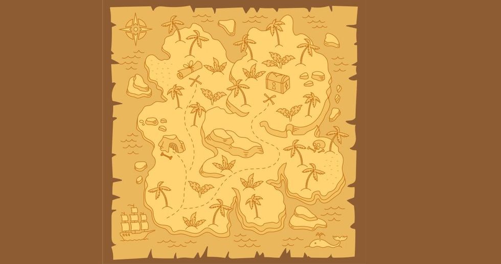
The game was created by the New York cartography firm Frederick and Roe Lockwood. After its creation, the game was nearly forgotten for many years, until a game collector found a copy of “The Travellers’ Tour” in the archives of the American Antiquarian Society in 1991. The game is usually considered an imitation of earlier European geography games which use the board to depict a map, and the rules of the game prompt players to use geographical facts to get to the finish point of the game. The game consists of a colored map of the then-24 states and a numbered list of 139 towns and cities, ranging from New York City to New Madrid, Missouri, from Washington to New Orleans. My Modern Met explains that the map includes 139 numbered cities and towns, which serve as the spots where players move while playing the game.
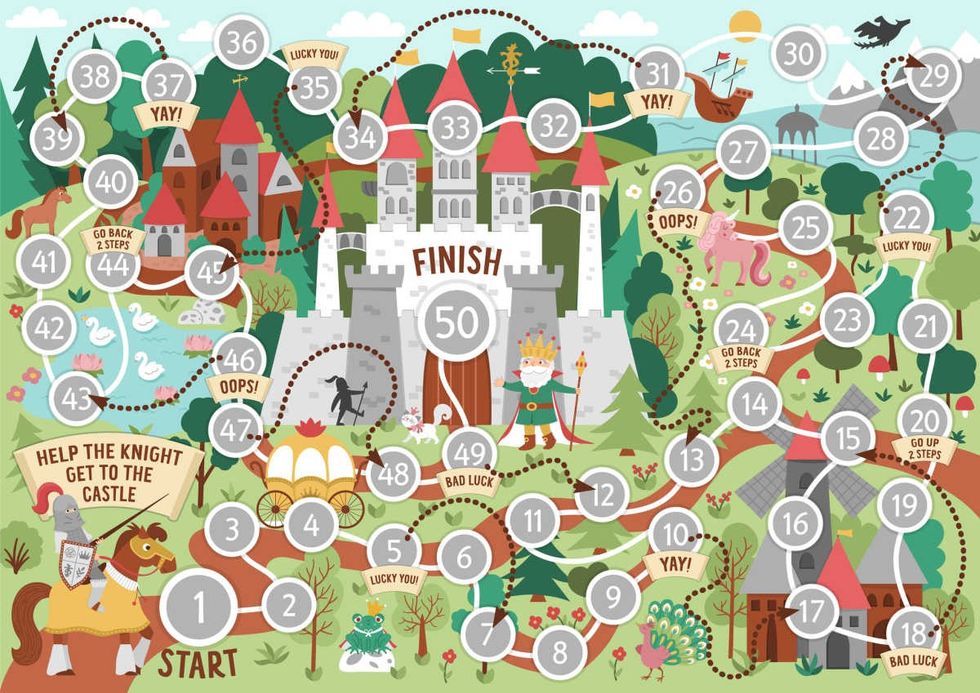
According to the instructions of the "Travellers Tour" game, it is supposed to be played with the aid of a “teetotum.” The Strong National Museum of Play defines a teetotum as “a small spinning top that could be either bought with a game or made at home by players.” As the teetotum is spun, it lands with a random side shown on the upper edge, the players use it to make the next move in the space of the map. This is how the player, also known as the traveler, moves around the map. Along the way, they are required to name the towns and cities. Their goal, as per the game, is to reach New Orleans.
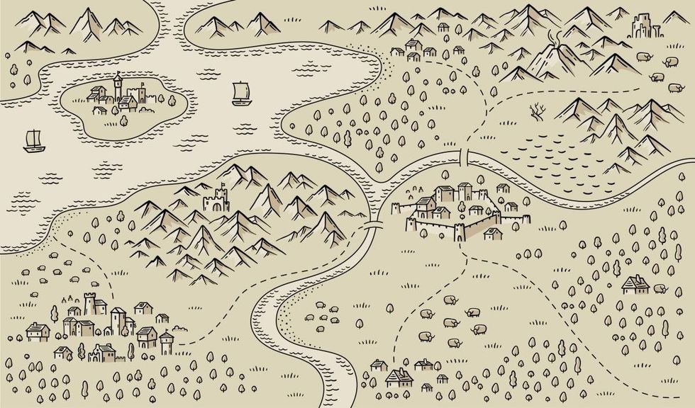
On the way, the traveler comes across a wide range of America’s geographical features that were prevalent during that time. For instance, they would typically cross Richmond’s fertile backcountry. Plus, the map also showed the westernmost states as Missouri and Louisiana, per Board Game Geek, thereupon reflecting the geography of the country at that time in the 19th century.




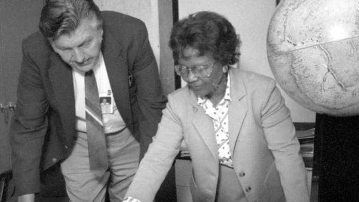





 As mayor of Stockton, Calif., Michael Tubbs ran a pioneering program that provided a basic income to a limited number of residents.
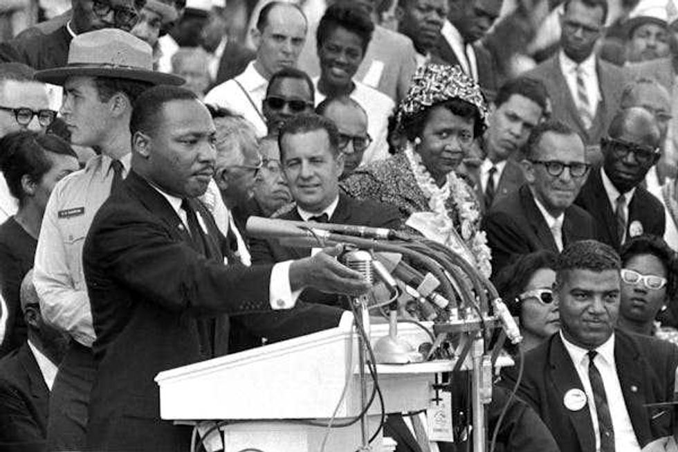 Martin Luther King Jr. believed Americans of different racial backgrounds could coalesce around shared economic interests.
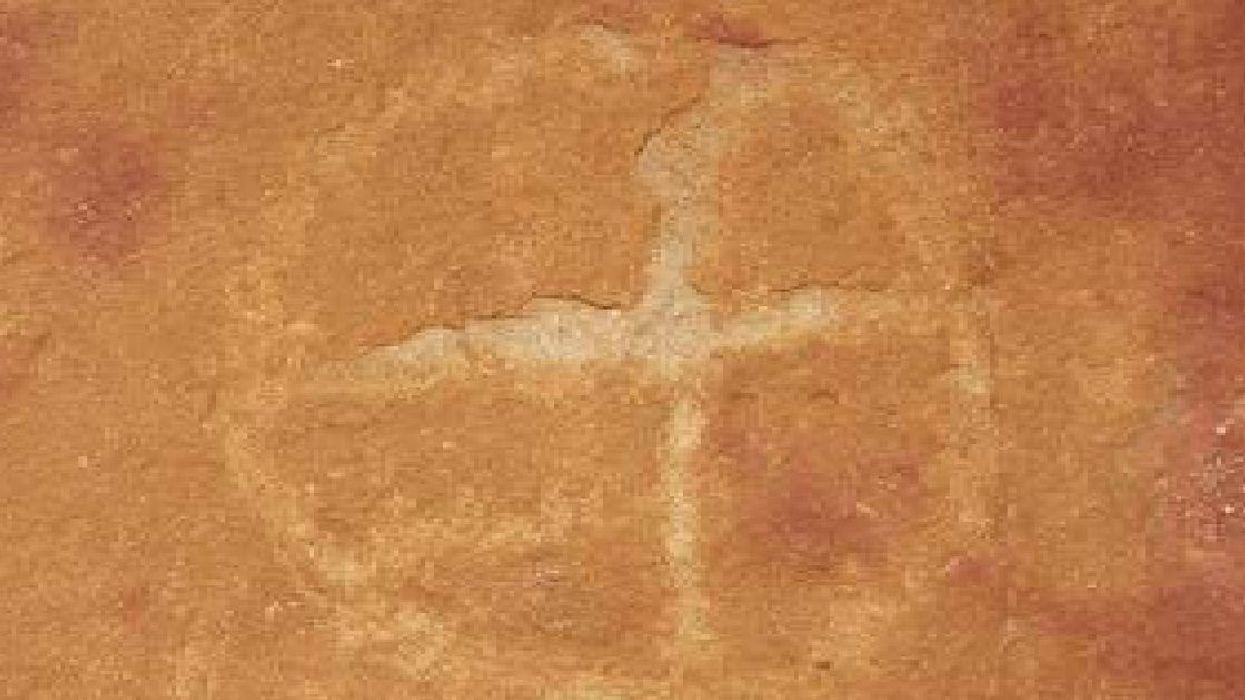
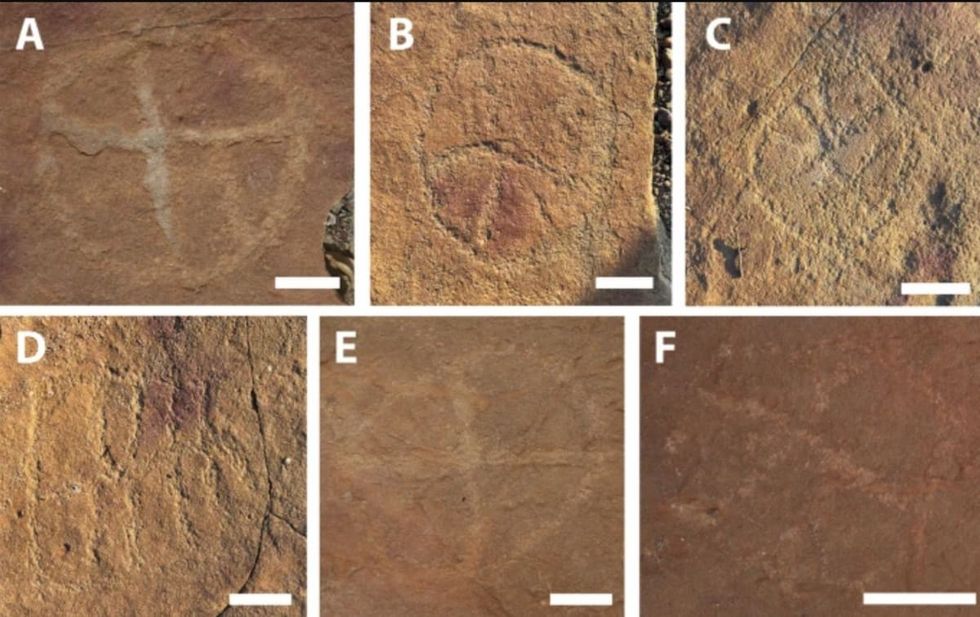 Image frmo Scientific Reports of ancient artwork. Image Source:
 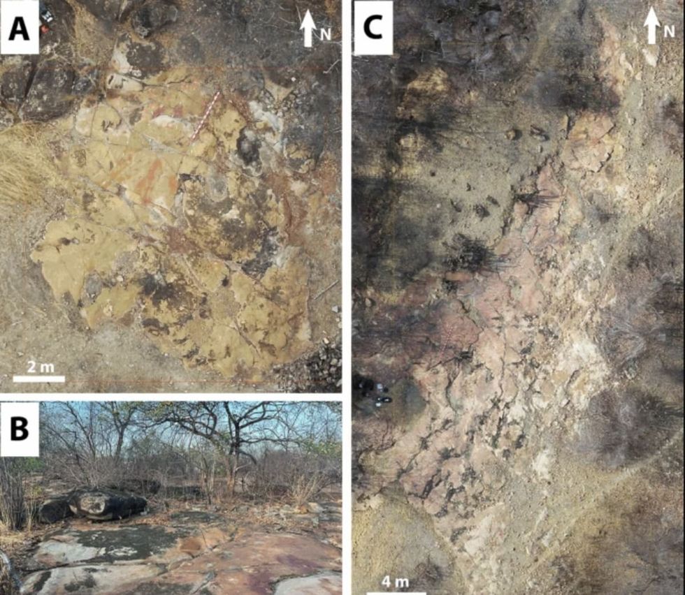 Image frmo Scientific Reports of ancient artwork.Image Source:
 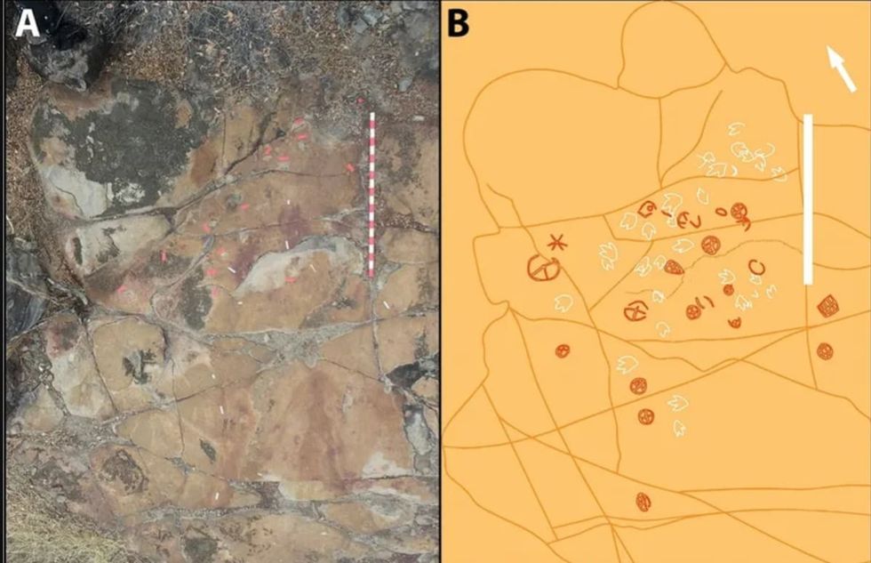 Image frmo Scientific Reports of ancient artwork.Image Source:
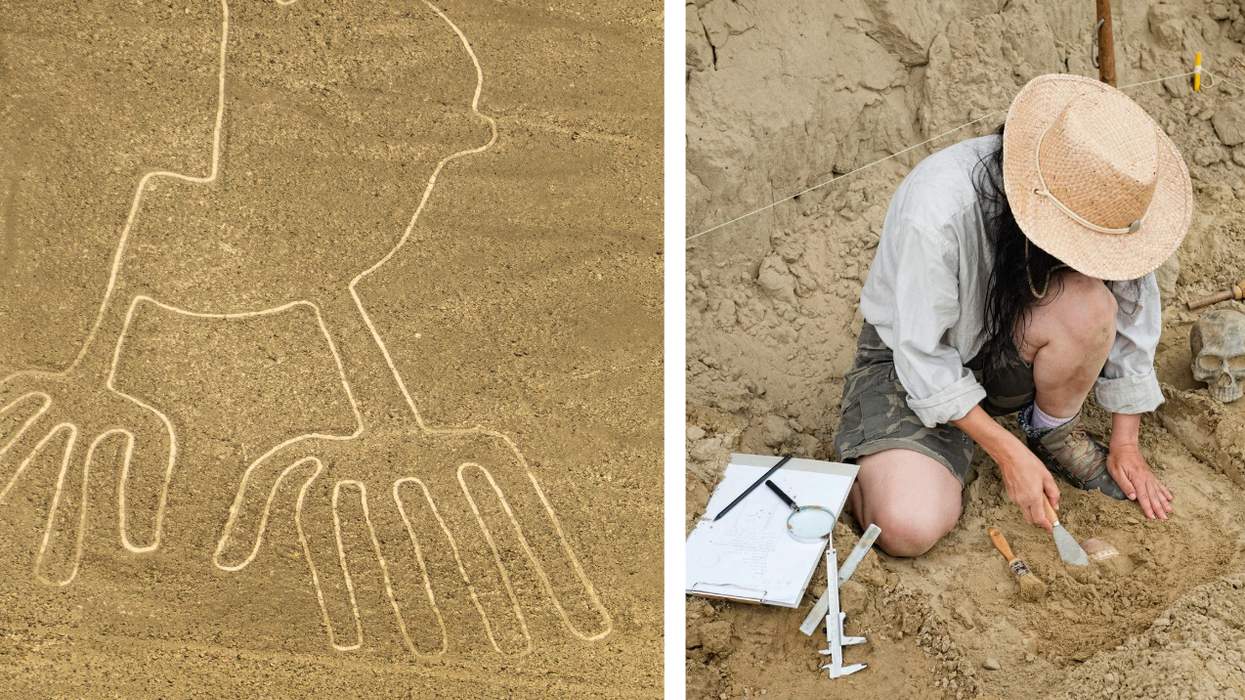

 It's difficult to imagine seeing a color and not having the word for it. Canva
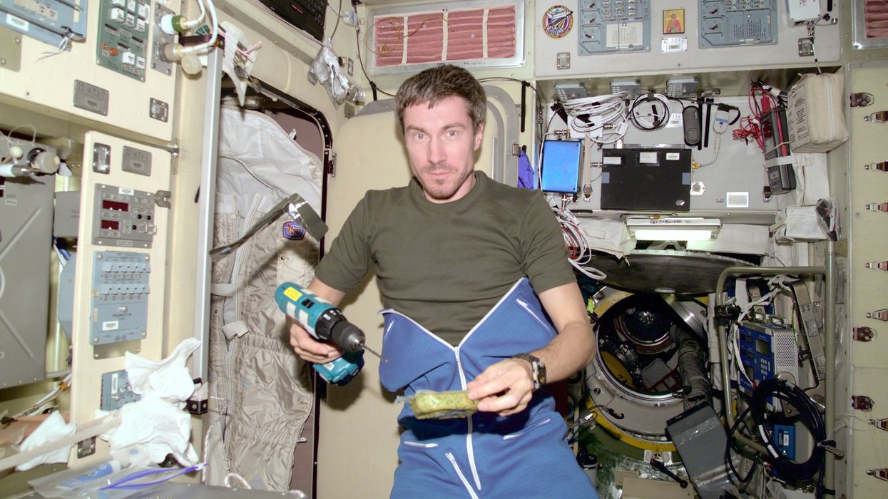
 Sergei Krikalev in space.


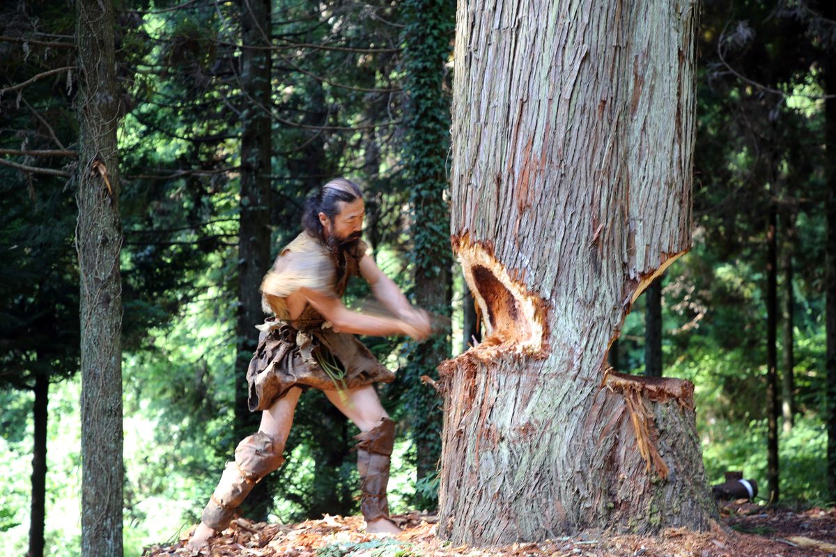 The team also crafted their canoe using ancient methods and Stone Age-style tools. National Museum of Nature and Science, Tokyo
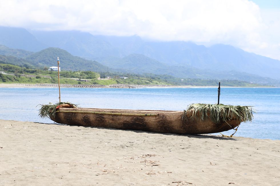 The cedar dugout canoe crafted by the scientist team. National Museum of Nature and Science, Tokyo